Tropical Storm Barbara has strengthened into a Category 1 hurricane, the first of the 2025 Eastern Pacific hurricane season.
The National Hurricane Center (NHC) said early Monday that swells generated by the storm system are likely to cause life-threatening surf and rip-current conditions along the coast of southwestern Mexico over the next few days.
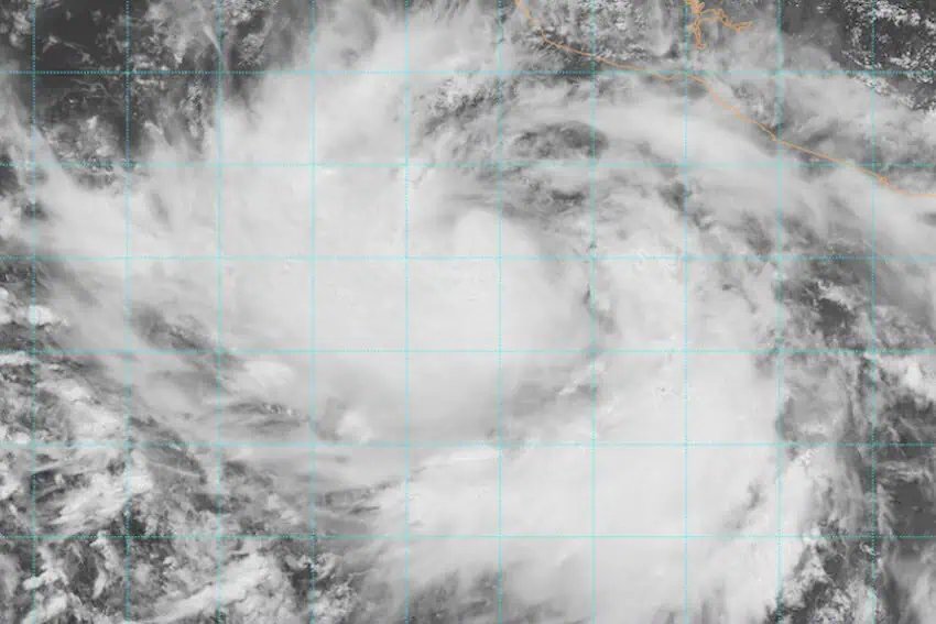
9 June #Barbara becomes the first hurricane of the 2025 east Pacific hurricane season. For the latest information visit https://t.co/Oy8uoeRKme pic.twitter.com/hBRaSYYoHK
— NHC Pacific (@NHC_Pacific) June 9, 2025
At 6 a.m., Hurricane Barbara — the second named storm of the 2025 Eastern Pacific hurricane season — was located about 186 miles (300 km) south-southwest of Playa Pérula, Jalisco, and less than 190 miles (305 km) southwest of Manzanillo, Colima, one of Mexico’s biggest ports. By 9 a.m., it was within 150 miles (245 km) of Manzanillo.
The storm’s center was moving northwest at 10 mph (17 kph) with maximum sustained winds of 68 mph (110 kph) and gusts of up to 87 mph (140 kph), according to Mexico’s National Meteorological Service (SMN).
No coastal warnings or watches were in effect on Monday morning, according to The Associated Press, but the storm was expected to bring heavy rainfall and wind to coastal areas of the states of Guerrero, Michoacán, Colima and Jalisco. Barbara is not expected to make landfall.
The SMN said Guerrero, Michoacán and Colima would be most affected by Hurricane Barbara, but said the state of Nayarit would also see heavy rainfall, with waves of up to five meters along the coast. Further south, Oaxaca and Chiapas could also be affected by Barbara, the SMN said.
Authorities warned residents of the possibility of localized flooding as total rainfall could surpass 101 millimeters.
Also in the eastern Pacific, Tropical Storm Cosme strengthened slightly on Monday morning but remained well off the coast of Mexico. It was about 630 miles (1,015 kilometers) south-southwest of the tip of the Baja California Peninsula, the NHC said.
Cosme’s maximum sustained winds increased to near 65 mph (100 km/h) with higher gusts. Tropical-storm-force winds extend outward up to 60 miles (95 km) from the center. Some additional strengthening is forecast, and Cosme is expected to become a hurricane later today, the NHC said.
Early Monday, Cosme was moving west-northwest near 6 mph (9 km/h) but was expected to turn toward the north with a decrease in forward speed by Monday night, followed by a faster north-northeast motion Tuesday through Wednesday. However, the NHC forecast that Cosme would begin weakening rapidly thereafter.
With reports from El Financiero, The Associated Press and Quadratin